Distance: ~16 km
Peak elevation: 1950 meters
Elevation gain: 1087 meters
Loop: Amden - Hinter Höhi - Oberchäseren - Speer - Oberchäseren - Unterchäseren - Durschlegi - Amden
The tourist center in Amden can provide a helpful map of the front side of Mattstock. You will follow a combination of wanderweg (hiking trails) and bergweg (mountain trails). The way is well marked with signs and pained rocks, though we did nearly miss some painted rocks in the snow fields, and had to back track. There is one valley where we presume all the markers were buried, since we wandered around it and didn't find any clues. Eventually we deduced you had to go left up and over the ridge, which got us back on track.
It is a 5 hour loop to Oberchäseren and back—add an extra 1-1.5 hours to summit Speer (we are moderate hikers). You can cut off approximately 400 meters of elevation gain by taking the Mattstock chairlift as described by the Amden.ch website, but the hike up to that point includes some really nice meadows.
Headed up from the valley.
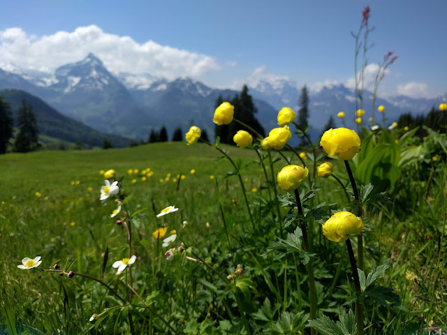
Lots of wildflowers.
1:25 hours from Hinter Höhi to Oberchäseren heading up.
No signs for a while, the bergweg (mountain trail) symbol is painted on rocks instead.
Some pained rocks may be partially (or fully) buried in snow in late May.
Looking back up at Mattstock.
Full panorama of Mattstock.
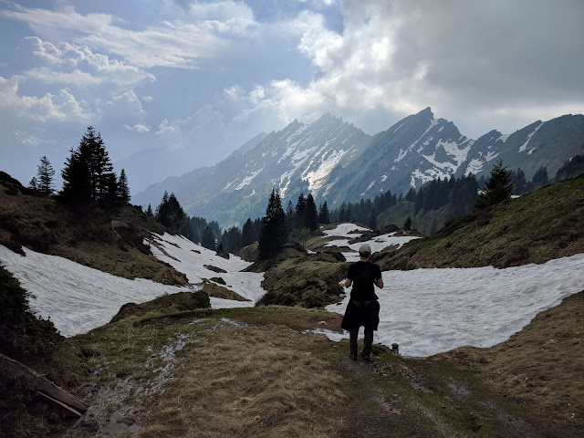
Snow fields everywhere.
Made it to Oberchäsere, 50 more minutes to the top of Speer (covered in clouds).
Clouds parted just in time for our summit.
Gorgeous on the way down.
Amazing jagged peaks in the distance.
Nearly back to Amden!


